
As per usual, scroll down to see the photos...otherwise, read on!
We’re in Länsmansgrund now, one of the few places we’ve stayed on this trip for more than one night. You might say we get restless on these sailing trips, but it’s more like we just want to see so much and only have a limited amount of time (which is really a reflection of how I’ve lived my life over the past several years, never staying in one place for more than a few weeks and always moving between one project and the next, never stopping to rest. But there it is then – there is just so much to see and do in life, and if you subscribe to the theory that you only live once – which I’m not sure I do, but anyway – you’ve got to take advantage).
Länsmansgrund is holding our attention however, and we’re staying here again tonight. We arrived last night around 7pm after a five-hour sail in strong, rainy conditions yesterday. Mia and I debated for much of the morning whether we’d go anywhere at all. Plus, it was raining, and neither of us felt like getting wet.
We’d sailed into a wide bay the night before, anticipating a strong south wind and (after meeting Åland’s last living Cape Horner at an old folk’s home in Degerby, a 95-year-old gent who was First Mate on the tall-ship Viking and sailed the grain route from South Australia to England – look for that story to follow soon) found a nice anchorage between some islands that offered good protection, formed by a big island typical of the Åland archipelago, with red rocks down near the shoreline and mossy pine forest covering most of the interior. The bay was open to the north and there was a very narrow, low-lying stretch of rock to the south, precisely where the wind was coming from, and it funneled through this spot with enough force that we second-guessed our choice of anchorage. We slowly motored more to the west. The chart indicated a shallow area between the main island and another, much smaller island to the north. The channel between the two was a few hundred yards across, and there were no rocks marked on the chart, so we nosed our way in to explore. Passing through the narrow bit, a small cove opened up to the south, on the main island. This was oddly not marked as an anchorage on the chart, but it was ideal, and where we ended up staying the night, deploying the boat anchor for the first time since we left Sweden.
That next morning we spent drinking coffee and reading books in the drizzle, waiting to decide what to do. The bilge was full of water underneath the engine, and our manual bilge pump had given up the ghost sometime over the past week, and I had been putting off dealing with it. The water was coming from the rudder post, which leaked badly under sail, particularly in a following breeze when the stern tended to squat as the boat reached hull speed, forcing water into the rudder bearing, so I took the opportunity to deal with it, particularly if we were going to venture out into the stormy weather to continue the trip counterclockwise around Åland’s main island.
The manual pump I could not get going (I need to take it entirely apart and rebuild it), so we ended up installing the electric bilge pump that I had originally planned on using for the bilge under the cabin sole. It works phenomenally under the engine however, so we’re going to leave it there and get a second one for the main bilge (for anyone interested, it’s a Whale ‘Supersub’ 650, which works on an internal switch – meaning no float switch needed to operated automatically – and pumps a fair amount of water, even with a check-valve fitted. I’m very pleased with it).
In the end, we sailed, weather be damned. After hauling in the anchor I hanked on the small jib while Mia did circles in the bay to remain protected from the wind. It was blowing close to 30 knots from the south (14 meters per second is what the forecasters called for, which is roughly twice that in knots), but we were going north. Despite the rain, it turned into a nice little sail, as zig-zagging between the islands and rocks provided a flat sea, albeit tricky navigation, but it was good fun. The sun tried coming out a couple of times, and by the time we approached the outer archipelago to the north of Åland, there was a distinct change in the weather on the way. Ahead of us, to the north and west, a sharp line distinguished the lousy weather from the good, with dark clouds behind us to the east, and blue skies and sunshine ahead to the west.
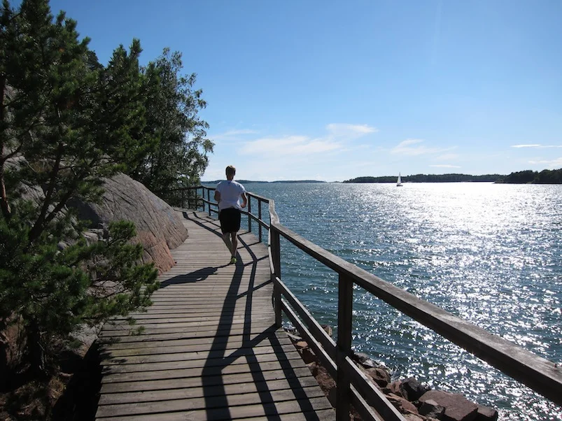
That line finally passed us after we sailed into the tiny cove that is Länsmansgrund, careful to avoid the submerged rock on the western side, and the evening sun provided some spectacular lighting over the area, which I took advantage of with the camera while Mia made dinner.
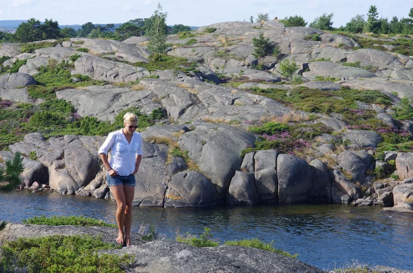
This little cove is situated SE to NW, and you can moor to the rocks, as we’d been doing in Sweden. There might be room for four of five small yachts here moored in this way, maybe one or two anchored ‘traditionally’ in the middle of the bay, with about ten feet under the keel. The scenery is typical of the outer archipelago here, the ubiquitous red rocks making up most of the landscape, while the forest on the bigger islands gives way here to lower, more scrubby vegetation and lime-green colored moss. The cliffs surrounding the little harbor are higher than we anticipated, and afforded fantastic hiking this afternoon. It kind of feels like walking on Mars. We saw a big snake, which Mia did not enjoy.
This is just about as far north as one can sail in the Åland archipelago, and if you climb up the cliffs by the boat, you’re afforded splendid views over the Sea of Bothnia (‘Nordhavet’ the Åland locals call it – literally ‘North Ocean’ – while to the Swedes, its ‘Bottenhavet’, or ‘Bottom Ocean’) that stretches over the horizon and into the far north between northern Sweden and Lappland – where Santa is from! – in Finland. The guidebooks call Öregrund, the town just west of here on the Swedish mainland where we’re leaving the boat next winter, the northern limit for most cruising boats. And this is another record for Arcturus. Our mooring here puts us at 60º 28’ N, the farthest north we’ll get this summer, and only 5 ½ degrees of latitude south of the Arctic Circle (or about 330 nautical miles).
The other thing that makes this place special is the small ‘stuga’ that is built on the shoreline just meters to the west of us. The wooden hut has a set of bunk beds and an iron fireplace, plus a small writing desk with a four-paned window that looks out onto the bay. Out back is a pile of split wood available to any who choose to inhabit the hut for an evening or a weekend. This place is a nature reserve, and the hut is maintained by the government for public use. Tonight, a small open motorboat arrived and moored outside the hut with duffel bags and food, and the couple onboard will ostensibly stay the night in the bunk beds, reading by the warmth of the fireplace. Outside is ‘Finland’s coziest picnic table,’ according to the guidebook. After seeing it, it’s difficult to argue.
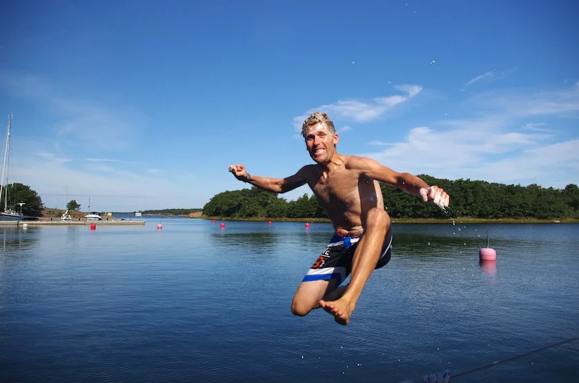
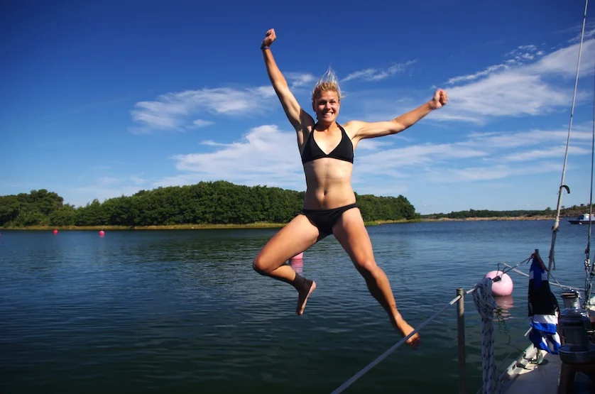
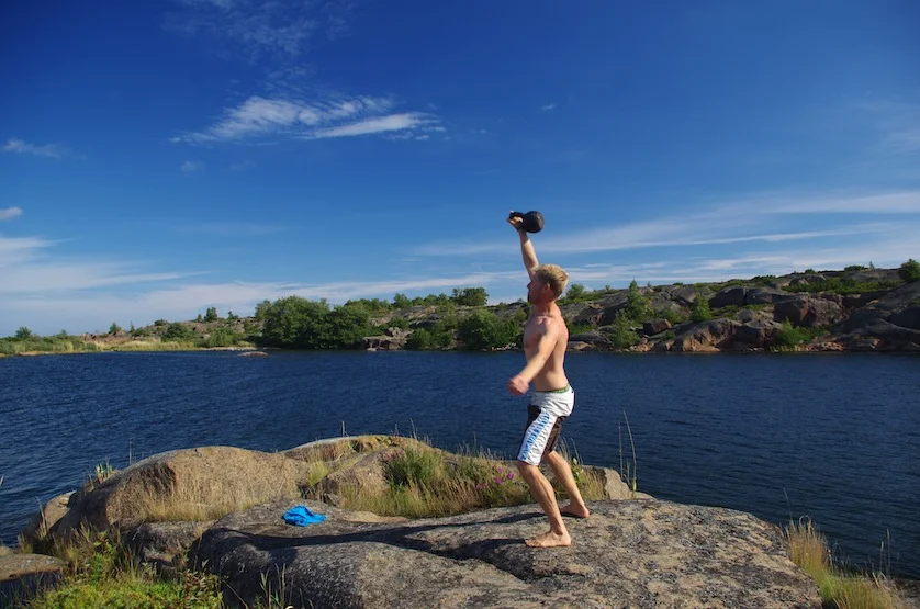
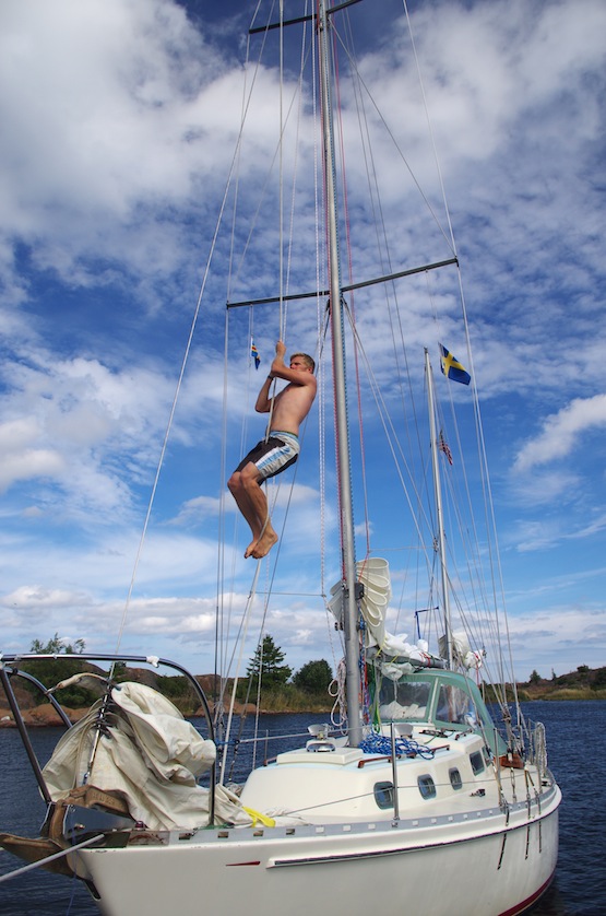
So we’re staying here another night, and I’m very pleased with that decision. Mia and I spent the morning training on the rocks just by the bow of the boat, me doing a kettlebell routine while Mia did some pushups and situps and a bit of yoga. Afterwards we did some running rehab-type exercises with Mia’s stretchy band she’s had since her swimming days, designed to strengthen the hip and lower back muscles, the small muscles that get so tired by the end of a marathon and which destroy your running form if they’re not in shape. I set up a little rope climb in the rigging and plan to send the photos to my friend Dane Miller, the former PA State Champ in shot-put who now runs the Garage Strength gym back home in Berks County, in an effort to convince him to open up ‘Garage Strength Finland’ here on the red rocks of Åland. Then, since the bay was ours alone, we went for another naked swim, which has sort of become routine on this trip. There is nothing like a little morning chill to wake up the system, and a hot cup of coffee afterwards never tasted so good.