Passage Logs

CARIBBEAN 1500: Analyzing the Weather from the Passage South

CARIBBEAN 1500: Analyzing the Weather from the Passage South

We say this until we’re red in the face, but a passage south from the US East Coast can be brutal. The weather challenges in the fall – with late season hurricanes and early season winter gales – are mighty, and choosing a weather window is a mix of both skill and luck. You’ve got to know what to look for to make a break for it crossing the Gulf Stream. Beyond three or four days though, the forecast accuracy breaks down and it’s somewhat of a crapshoot.

Crossing the Gulf Stream

Crossing the Gulf Stream

Isbjorn is firmly in the Gulf Stream now, making good headway in the middle of the fleet. While I've not heard directly from the boat, I'm guessing (and hoping) that Paul and the crew were patient enough during last night's calm spell to wait out the wind and not turn the motor on. Yesterday they were at the front of the pack that started early Wednesday morning, but today they've drifted back towards the middle, probably because everyone else motored through the calm.

Caribean 1500 Heads Offshore After Hurricane Kate Delay

Caribean 1500 Heads Offshore After Hurricane Kate Delay

Isbjorn, to my chagrin, was the first boat to report a ‘casualty’, so to speak. Shortly after leaving the marina, Tom cut his finger badly enough to require stitches. They made a slight detour into Little Creek where Tom was treated. He was back aboard and Isbjorn headed offshore by 0600 this morning, so in the end it was a minor injury and a short delay. 

My Destiny as a Sailor, by Yves Gelinas

My Destiny as a Sailor, by Yves Gelinas

On Thursday, November 5, the Caribbean 1500 program will feature a private screening of 'Around the World with Jean du Sud' at the Commodore Theatre in Portsmouth, by sailor, filmmaker and inventor Yves Gelinas. Yves is a guest of the rally this year, preparing to sail his famous Alberg 30 south to Martinique, and will be on-hand tomorrow to introduce his film and do a live Q&A with the rally participants afterwards, a rare and truly exciting opportunity. The article below was written by Yves and republished with permission from his website, capehorn.com. 

CARIBBEAN 1500: Planning a Weather Window to Sail Offshore

CARIBBEAN 1500: Planning a Weather Window to Sail Offshore

A fall passage to the Caribbean from the northeast US is undoubtedly one of the more challenges offshore undertakings, both once at sea and indeed during the preparation stages. Here at the Caribbean 1500 headquarters in Portsmouth, VA, we write about the weather every year – about how difficult it is to find a weather window this time of year, as we’re squeezed between the winter gale season and the end of tropical cyclone season. 

Sailing to a Nearly Frozen World

Who cares about Greenland and why is the Ocean Research Project team going there? About 90% of the island is covered in ice and the people and animals who live there rely on it staying froze. They live along the rocky fringes separated around the island by partially frozen fjords and towering dynamic marine terminating glaciers where their means of survival, traveling and hunting by dogsled is threatened. When the ice sheet eventually melts at least 21 feet of sea level rise will occur globally, but when? Our observations will help scientists from NASA to determine the stability of the ice sheet and predict when the water will be displaced.

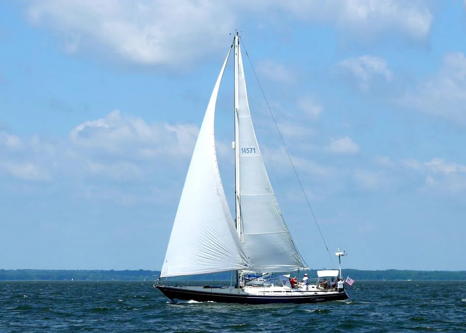
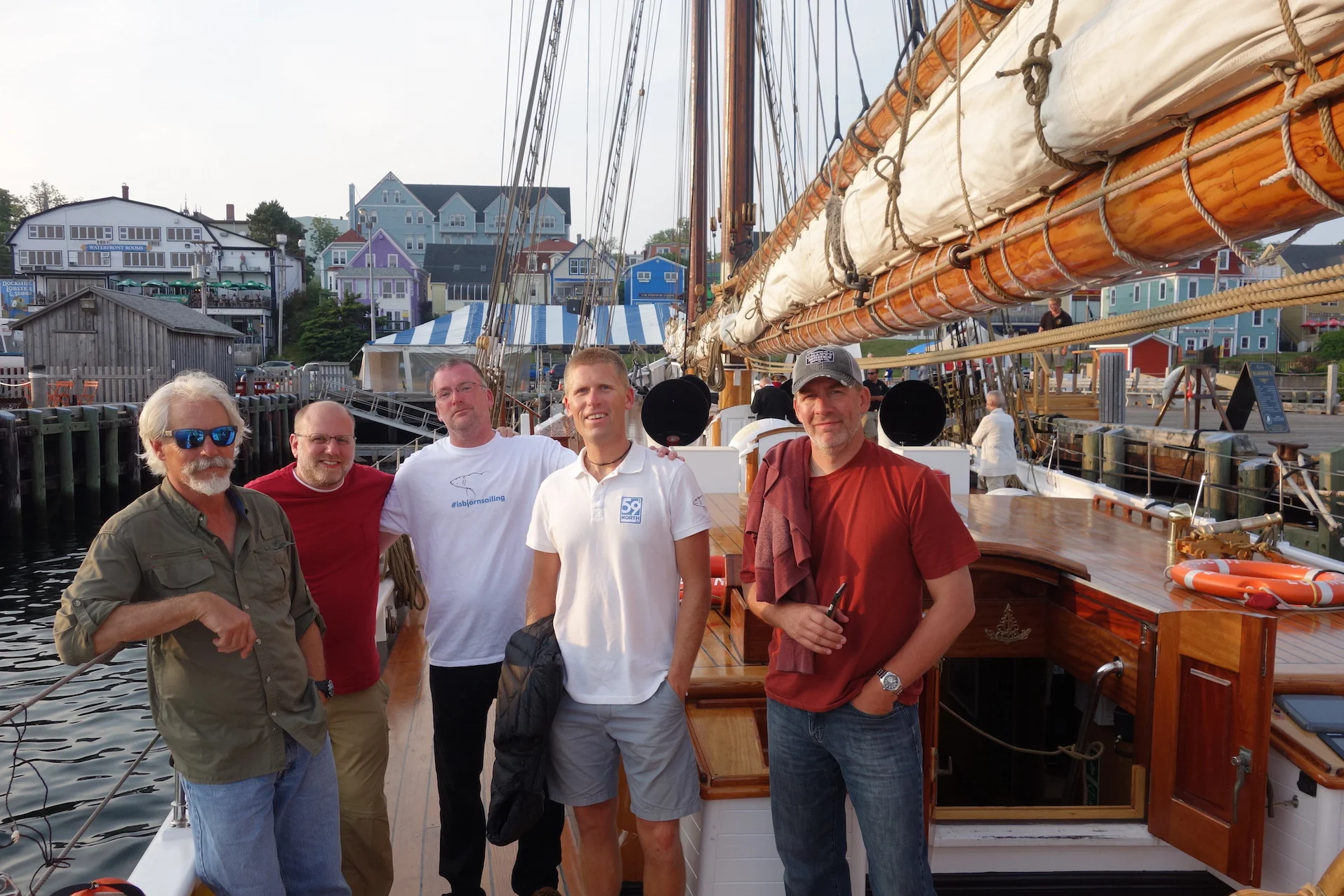
Onboard the R/V Ault, Captain Matt and I are sailing to Greenland and are currently in the North Atlantic Ocean off Canada’s, Newfoundland where we have entered a maze of small ice bergs not far from where the Titanic cruise liner met a berg face to face. It is scary to sail to a near frozen world where you have to rely on yourself to survive but it is even scarier to ignore climate change and the impact it is having not just on the Arctic but on the entire planet. Just imagine, you could fill the Chesapeake Bay up 3 times each year with how much water is melting off of Greenland.  How much of an impact does human civilization have to do with these changes?

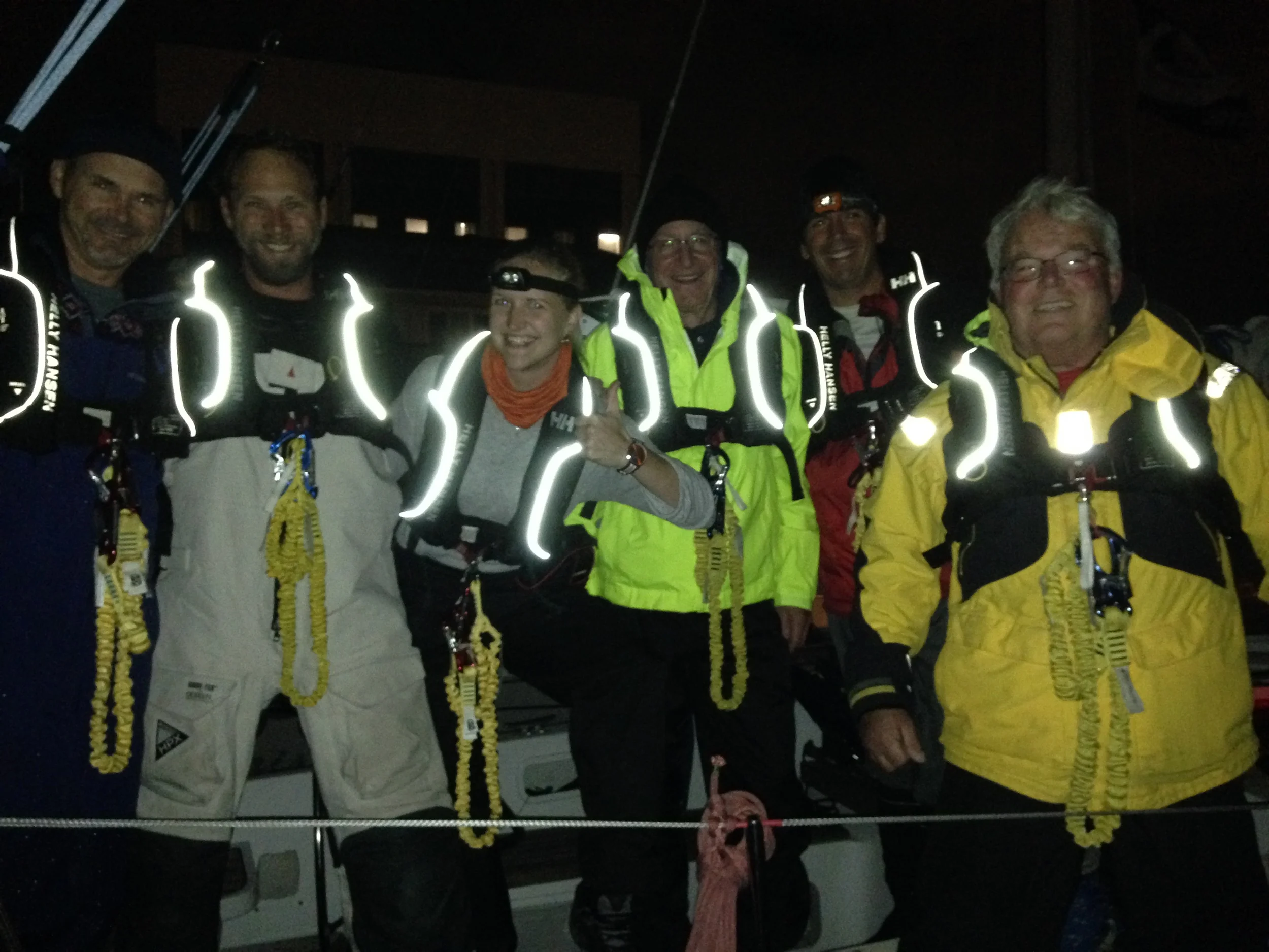
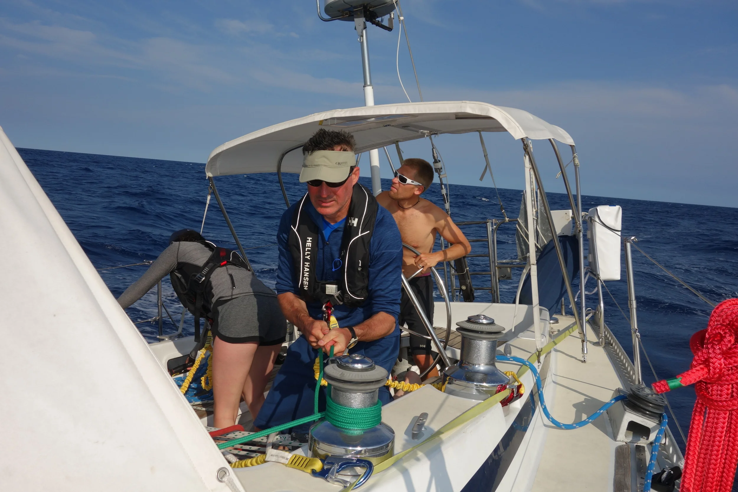
Matt and I take turns sailing the boat, we help each other out when things get tough. 5 hours on, then 5 hours off, days go by and time becomes a blur especially as you head closer to the Arctic. As we head North eventually the sun will not set during the summer months. The tilt of the Earth’s axis and its position around the sun causes daylight around the clock. We have already climbed 10 degrees of latitude heading north, 16 more and we will be in the Arctic and if environmental circumstances allow we will study the climate change impacts of Smith Sound at 78 degrees North.

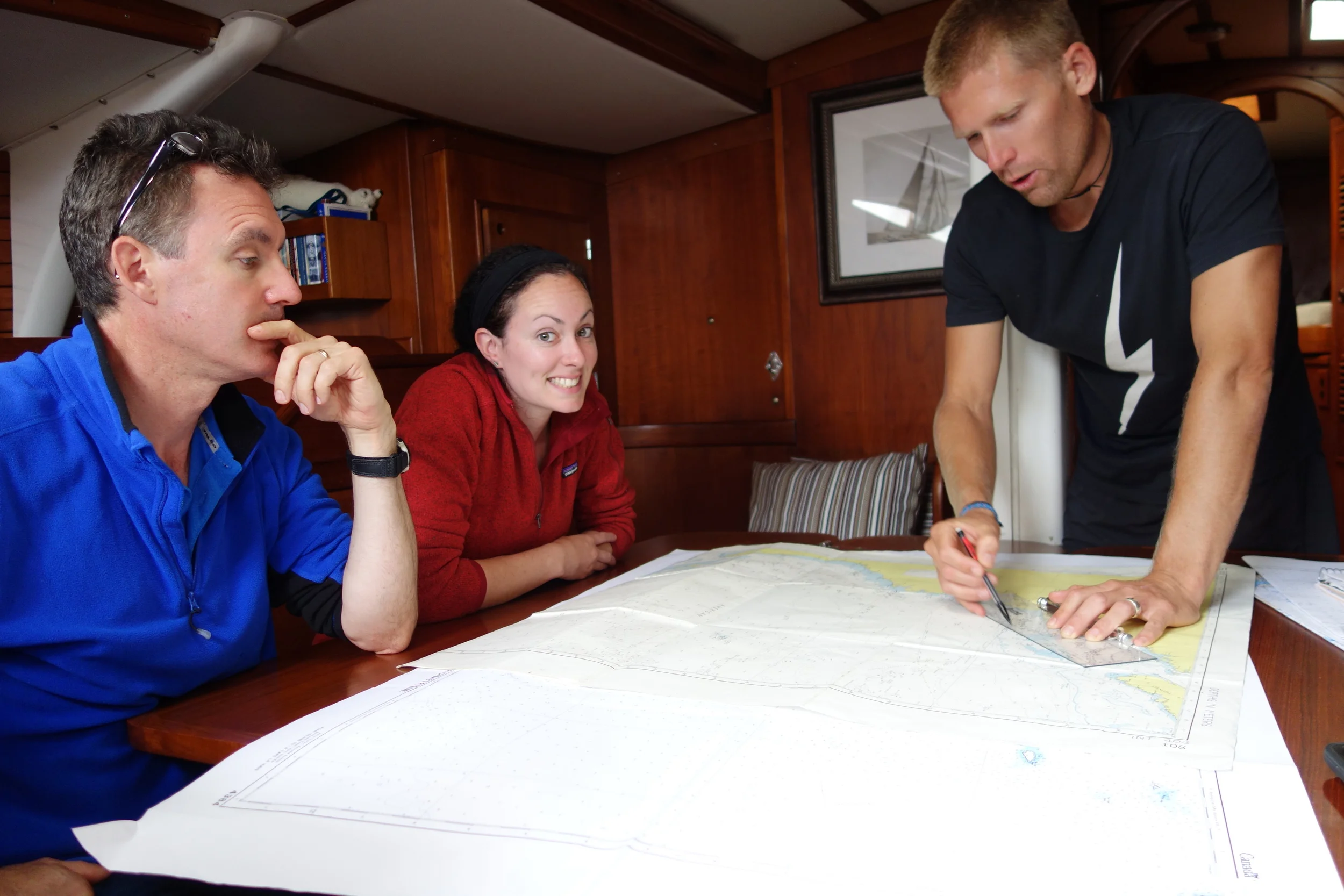
We aim to survey narrow fjords with rapidly melting glaciers especially in the less explored fjords of Melville Bay. There are dozens of fjords that are often too narrow for research planes to operate and to shallow for large research vessels to navigate safely.  We are trying to find where the warm water is coming up and at what depth.  Warm water is thought to be coming all the way from the North Atlantic Ocean traveling up over the shelf, through connecting deep water canyons, entering the glacial fjords only to eat away and melt the underbelly of the glaciers that stick out over the water. We will survey these uncharted regions to observe if this warm water is really coming up from the depths.

Cautiously we will approach glaciers to periodically drop a sensor, a RBR ltd. CTD (conductivity, temperature, depth device) all the way to the bottom to help identify where the warm water is and how fresh it is considering the adjacent glacial melt activity.

Since we left Annapolis, Maryland about 3 weeks ago we have recorded much about the ocean’s surface along the eastern seaboard such as: how much carbon is present, how salty it is, and what the temperature is. We have two automatic sampling systems installed aboard the R/V Ault to manage; an ocean carbon sampling Smithsonian pCO2 system and RBR’s thermosalinograph which mainly measures sea surface salinity and temperature. Why should we measure ocean carbon, salinity and the temperature of the surface of the ocean from a temperate to polar climate?

Avannaarsua, (Greenlandic translation: To the far North)
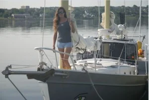
Nicole

Tropical Storm Claudette off Nova Scotia

Tropical Storm Claudette off Nova Scotia

We're just hours from departing Lunenburg now for the return passage to Annapolis, and Tropical Storm Claudette is making me re-think our departure plans. Matt, one of our crew, went to the Fisheries Museum this morning, and it's all the tour guide was talking about. I had seen a small depression on the GRIBS yesterday, but apparently sometime this morning it officially got a name.

The First Voyage of Isbjörn: Ashore in Lunenburg & Some Final Thoughts...

The First Voyage of Isbjörn: Ashore in Lunenburg & Some Final Thoughts...

Of course one of the greatest things about ocean voyaging is exploring your landfall! My dad and I used to wonder, especially after particularly challenging passages, if we did it for the sailing, or did it for the payoff at the other end. I’m still not sure there is a clear answer to that. It’s obvious a bit of both, and the challenge of getting to that far-off land under your own effort over such a comparatively long time is what makes it so cool, and so unique in our modern time. The average air traveler will never have any concept of how large the world actually is. We ocean sailors know better.